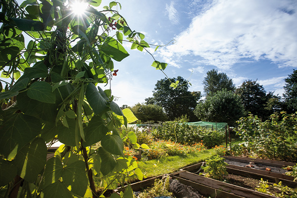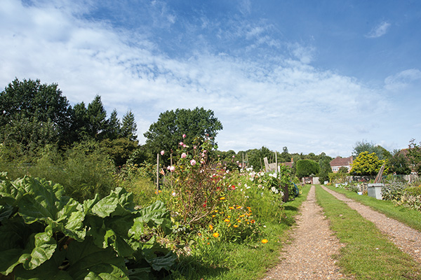
The current site was first let by the Rev. Raffles Flint, the vicar of Holy Trinity, around the late 1870s. The Parish Council, which was formed on 31st December 1894, officially took over responsibility for running the allotments at Michaelmas in 1895, and it has looked after them ever since.
A complete history of Sunningdale Allotments can be found here. It provides a useful read for anybody who is keen on local history or allotments.


There are currently more than 70 plots on the site. They vary in size from as little as 1.4 poles (35 sq. metres) up to 6.3 poles (160 sq. metres), although the average is under 3.7 poles (approx. 93 sq metres).
Notice of increase to rental level for March 2026
The Parish Council hereby gives notice that the rental level will increase from £7.25 to £7.50 per pole with a minimum charge of £15.00 from 1st March 2026.
There are no plots currently available, if you wish to be added to the waiting list please email your details to info@sunningdale-pc.gov.uk
If you are new to Sunningdale Allotments then you may find the following articles useful:
Rules Etiquette and Useful Info Incl Site Map
Allotment Health and Safety
FAQs from Plot Holders
New to an Allotment
Allotments – all you need to know / RHS
Spring Jobs Summer Jobs Autumn Jobs Winter Jobs
The allotment site needs general maintenance throughout the year. The vast majority of these maintanance jobs are carried out by existing allotment plot holders. Please contact us on info@sunningdale-pc.org.uk for more information.
After a busy growing season, allotment holders have been working hard to keep their crops growing throughout the summer. The results have been impressive.
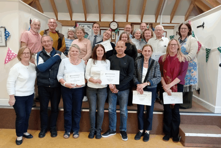
As with previous years, the council awards prizes in the William Pack Cup. Judging this year was carried out over 3 months and the winners were awarded their prizes by Lead Member, Cllr Matthew Newman at the Allotment Holders Tea which took place on Tuesday 30th September 2025.
1st Philip Greenaway & Debbie Player

Joint 2nd Debbie Purkis
Joint 2nd Alison Foster
Joint 3rd Fred Parfit
Joint 3rd Glen Couper
Highly Commended William Hook
Best Newcomer Claire Patel
Best Oldcomer Trevor Offord
Commended Ann McEwan

The most well-known geological formation in the Thames Valley area is London Clay. However, there is a stretch of land roughly centred on Bagshot, which is approximately 25 miles wide (east to west) and 15 miles from north to south, where the London Clay is covered by layers of sand that were put down between 58 million and 43 million years ago during the Palaeogene era. Three strata are currently identified: Bagshot Formation (the oldest) is dominated by orange and pale yellow fine-grained sand, its depth varying widely with 40 metres in the Bagshot-Chertsey area but only 7 metres in Ascot; Bracklesham Beds containing alternate layers of sand and clay are mainly found in the Chobham, Crowthorne and Farnborough areas; and Barton Beds containing yellowish brown fine-grained sand with an impersistent layer of flint and pebbles at the base are mainly limited to Chobham and Bagshot.
If you are interested in this subject there is a very useful and readable article on the geology of nearby Chobham. Also, Geology and Soils (pdf format) by Michael J. Crawley provides an 8 page summary on the geology of Berkshire. A full explanation of local geology can be found in British Geological Survey: London and the Thames Valley (4th edition), compiled by M.G. Sumbler (an HMSO publication).
Although there are slight fluctuations from plot to plot, the soil on the Sunningdale site is generally light and sandy. The advantages are that it is relatively easy to work and free draining; the disadvantage is that it can dry out quickly. In very dry periods, such as July 2006, the soil becomes very fine and it can take a reasonable amount of rain to “re-hydrate” it. The soil tends to be marginally on the acidic side of the ph divide. One final point of note is that the land is quite stony, which means that some extra work can be required to remove the stones if long straight root crops are required, particularly parsnips.
There are many underground streams in the local area; a number of properties on Church Road used to have wells in their back gardens. In wet winters some plots can become unworkable for periods of time although the sandy nature of the soil means that periods of forced inactivity are seldom lengthy. Some improvements were made by the Parish Council in the early 1990s to limit the amount of water run-off from the school and the car park to the plots by running a drain down the main path to the ditch. The areas that suffer from water run-off are: some adjacent plots to the school playing field; plots in a direct line from the car parks; and some plots that are in a direct line to the three large properties on Church Road.